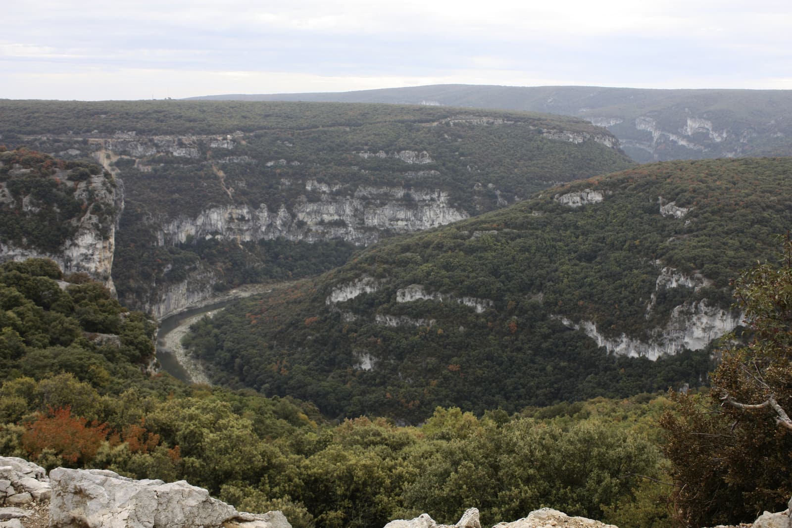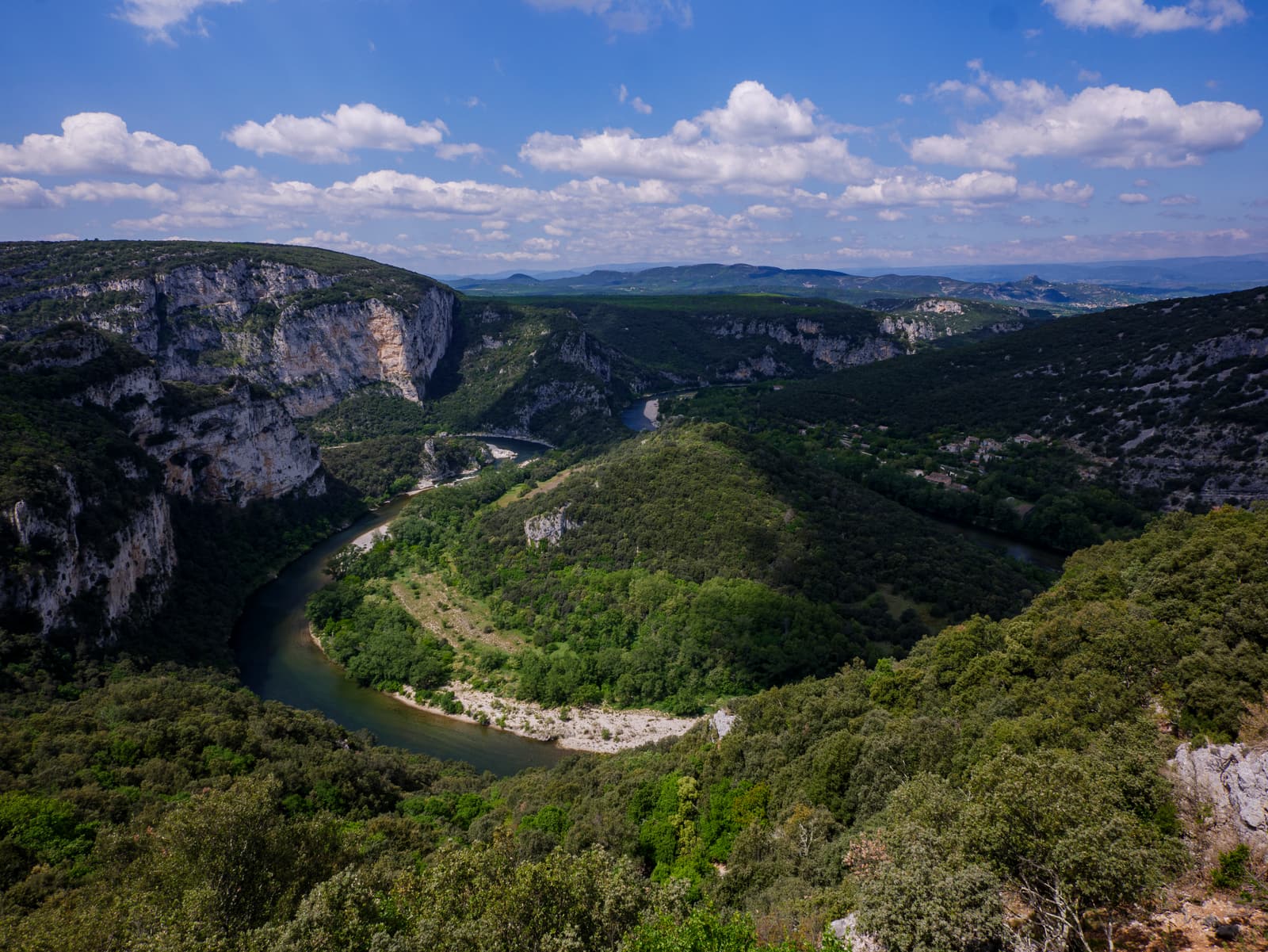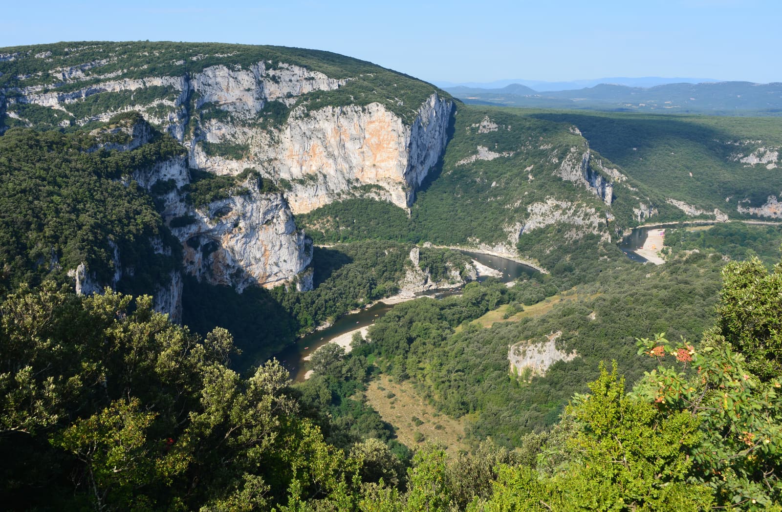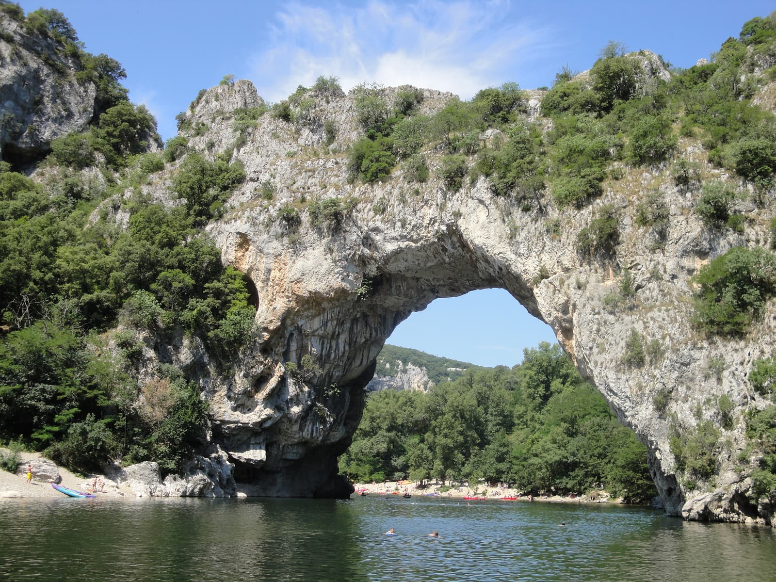
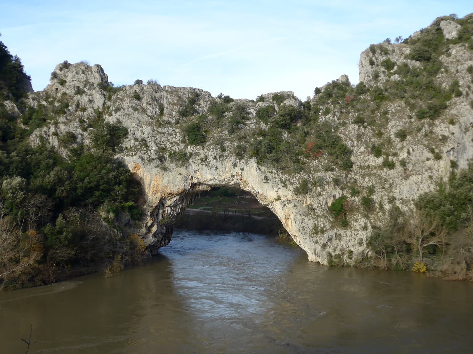
The Pont d’Arc is the reason most people first hear of the Ardèche. A few kilometres downstream of Vallon-Pont-d’Arc, the river runs straight through a natural limestone arch roughly 54 metres high and around 60 metres wide — figures vary slightly between sources. The river once looped around this spur of rock; over a very long time it wore a hole through the narrow neck and took the short cut, leaving its old bed as a dry meander beside the road.
It is also the gateway to the canyon proper. Every short canoe route from Vallon passes beneath the arch, and below it the cliffs close in for the thirty-odd kilometres of the Gorges de l’Ardèche. In the cliffs of the old meander nearby is the Chauvet cave, whose paintings are among the oldest known — sealed to the public, but recreated at Grotte Chauvet 2 on the plateau above.
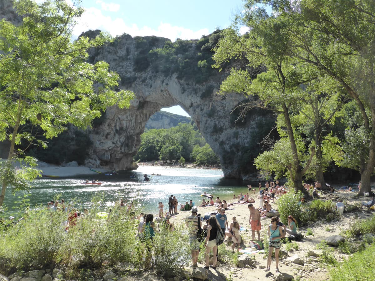
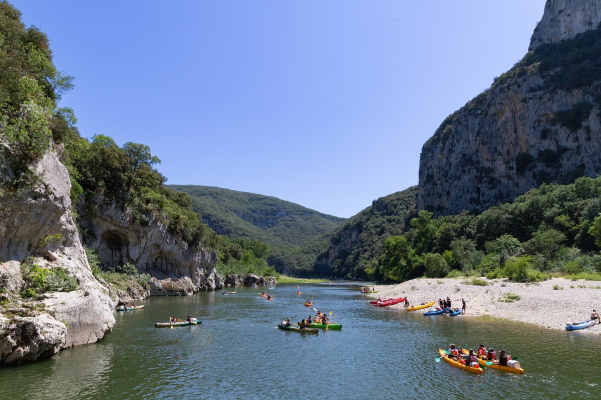
On a summer afternoon the beaches beneath the arch are packed and the river is a procession of canoes. Come early in the morning, in June or September, or simply paddle through it and keep going: the arch is just as impressive from the water, and the crowds thin within a few hundred metres.
Top things to do: Pont d’Arc
Paddle under the arch
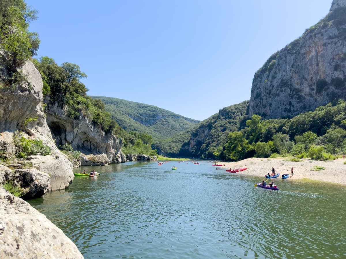
The classic way to see it. The shortest canoe and kayak rentals from Vallon — around 6 to 8 km, two hours or so of paddling — all pass beneath the Pont d’Arc, with a couple of easy rapids on the way. Longer routes continue into the gorges. See the canoe guide for which distance suits you.
Swim from the beaches
Pebble beaches on both sides of the river give access to the water right below the arch. The river is usually calm and fairly shallow here in summer, but there is no lifeguard on most of the bank, canoes pass constantly and the current can be stronger than it looks — keep an eye on children.
Stop at the viewpoint on the D290
The Route des Gorges passes just above the arch, with parking areas and a viewpoint on the roadside. It is the easiest photograph of the Pont d’Arc and the starting point of the Route des Gorges drive. Parking fills up early in July and August and is often paid in high season.
Walk the old meander
The dry former riverbed beside the arch, known as the Cirque d’Estre, is a reminder of how the arch formed. The Chauvet cave lies in its cliffs, but the entrance is closed and protected — the only way to see the paintings is the replica at Grotte Chauvet 2.
Combine it with Chauvet 2 the same day
Paddle a short descent in the morning, then drive up to Grotte Chauvet 2 for an afternoon slot. The cave replica is cool and shaded, which makes it a good choice for the hottest part of the day.
How to get to Pont d’Arc
- By car: about 5 km and 10 minutes from Vallon-Pont-d’Arc along the D290, the Route des Gorges. Parking is along the road and in car parks near the arch.
- By canoe: on any rental from Vallon-Pont-d’Arc; the arch comes after roughly the first hour of paddling, depending on the starting point and your pace.
- On foot or by bike: possible from Vallon, but the D290 is narrow, hilly and busy in summer, with no proper footpath along much of it. Cycle early in the day.
Insider tips
- Arrive before about 10 a.m. in July and August to park easily and have the beaches to yourself.
- Water shoes are useful: the beaches are pebbly and the riverbed is rocky.
- Keep clear of the canoe channel when swimming, especially near the rapids just upstream.
- Take your rubbish home — there are few bins on the beaches and the riverbanks are protected.
- The best light for photographs is early morning, when the sun lights the arch from the east.
Best activities for Pont d’Arc
These well-reviewed experiences pair well with a visit to Pont d’Arc:
Canoe rental from €39 Family Descent of the Ardèche by Canoe or Kayak — about 12 km
The most-reviewed Ardèche paddle on GetYourGuide: a self-guided half-day descent from Vallon-Pont-d’Arc, through the first rapids and under the great arch. Rentals here normally include the shuttle back to the start — check the listing.
- Paddle under the Pont d’Arc
- A few small rapids and natural water slides
- Beaches for swimming stops on the way
 Canoe rental from €30
Mini Ardèche Discovery Descent by Canoe or Kayak — about 6 km
A short taster of the river: around six kilometres from Vallon-Pont-d’Arc, through three easy rapids and under the Pont d’Arc, with the usual shuttle back to the start.
- The shortest way to paddle under the Pont d’Arc
- Three easy rapids
- Leaves the rest of the day free
 Canoe rental from €28
Mini Descent of the Ardèche under the Pont d’Arc, at Your Own Pace
An unhurried eight-kilometre paddle: navigate a few rapids, pass under the arch and stop wherever you like for a swim or a picnic before the pick-up point.
- About 8 km including the Pont d’Arc
- A few rapids
- Time for swimming, a picnic and sunbathing